Boring Art, Boring Life: Tapaltos Bay, Cape Beale on May Long Weekend 2014
Tapaltos Bay, Cape Beale on May Long Weekend 2014
May long weekend on Vancouver Island is often the busiest weekend for camping of the entire year. Families, and youth alike use it as an opportunity to get out for the first time in the year and camp. This year was no exception.
We had a hard time picking between two trips this year, Gulf Island kayak trip or a trip toward the West Coast of Vancouver Island to do some backpacking. The weather report for the weekend was pretty uneven for both areas so we let our friend decide. She has less experience in a kayak and no gear but is set up for backpacking, we went backpacking.
Our plan was to drive out to Pachena Bay on Friday night and camp in the drive up sites there and then head into Tapaltos on Saturday, then do a day trip to Cape Beale on Sunday and return to Nanaimo on Sunday. This plan has worked well for us before, even three weeks ago we went to Keeha Bay in the same area with the same trip plan. Last trip when I contacted Pachena Bay they took forever to get back to me and they told me that the office was going to be closed but they might send someone to the camp to collect money from us. That time we were the only people in the gigantic campsite. This time was a lot different!
We didn't call ahead, we assumed that there would be a lot of sites available; there wasn't! The trip out to Bamfield was great but we did pass a lot of RV's and campers. When we arrived at Pachena Bay around 7:45 pm we were surprised to discover that most of the sites were taken. We did manage to find one but only after we had setup up in one location and were booted out by another group and then allowed to take over one of their friends sites who changed their plan. We got lucky. Next time I will definitely remember to call ahead and now take for granted that my friends and I are not the only people crazy enough to venture to this area on a weekend that called for rain.
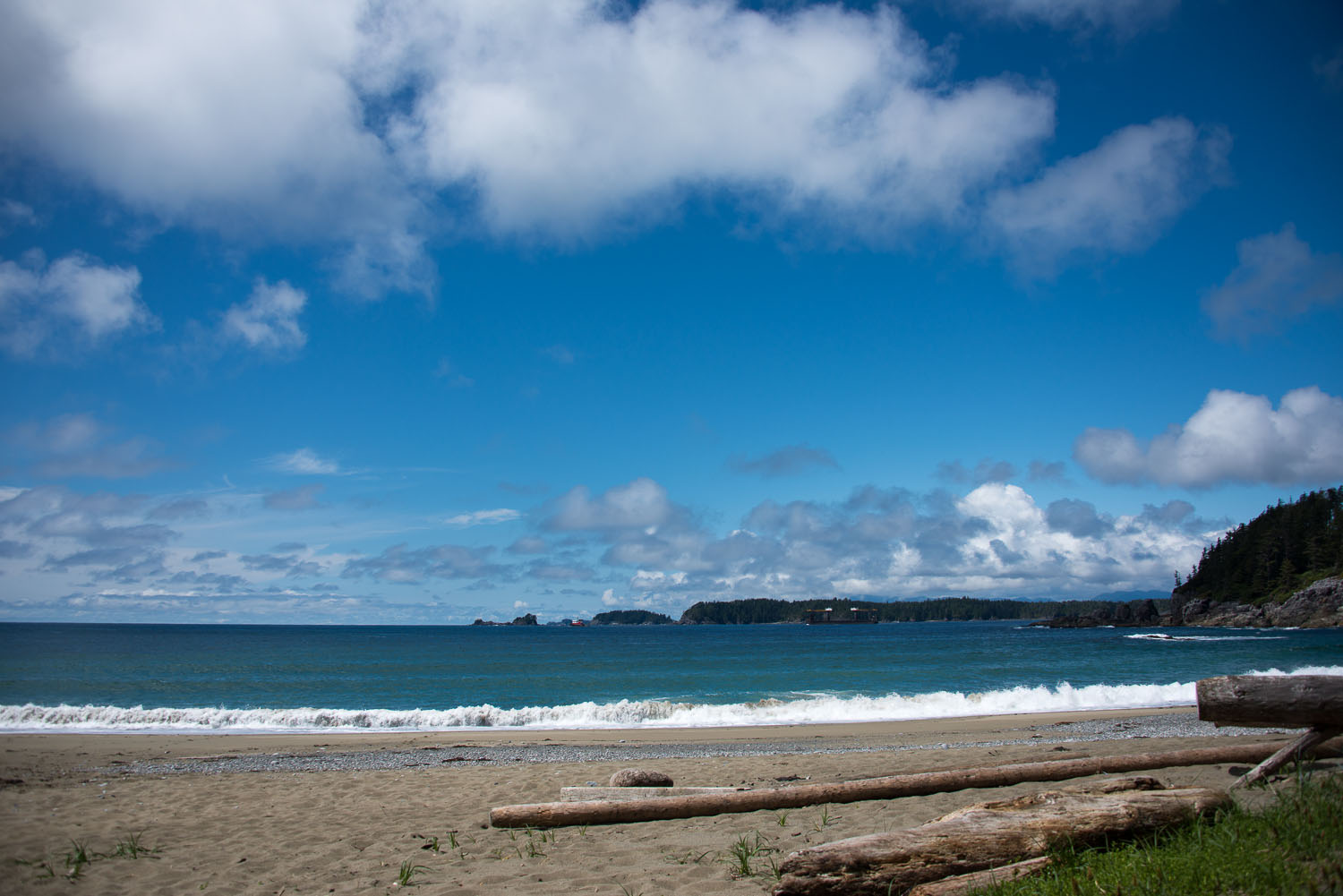
Pachena Bay is amazing. It is the launching point for the northern end of the West Coast Trail in the Pacific Rim National Park Reserve. The beach is sandy and several kilometers long with dozens of access points from campsites to the beach. Our lady friend went to bed shortly after arriving, somewhere around 9pm, so Michael P and I broke out the portable Settlers of Catan and played a round of that. Afterwards we hit the fires on the beach looking for a group to sidle up to. Everywhere we went we were met by other campers enjoying the misty weather and good company. Around midnight it started to rain, that is when we retired to our tent, narrowly avoiding the rain. Tucking in for the night we had a great sleep before waking early in the morning and packing up.
 |
| Michael hording his resources! |
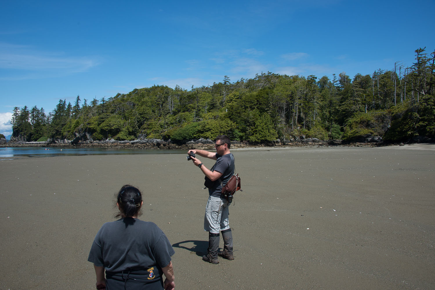
The making of traditions is an interesting process. When you do something that is fun one time you look to repeat it. The trip to Bamfield now includes a trip to the Bamfield café. We arrived right when they opened at 8 am and had a delicious breakfast and an okay cup of coffee. We explored around Bamfield, the docks and the Marine Research Station. The town is a cozy little place and the locals greet you with eye contact and say hello. It makes the trip out there worth it. The morning was overcast, many clouds on the horizon and we all thought that rain was in the forecast... we couldn't be more wrong.
 |
| the wild and wondrous sea scrotum |
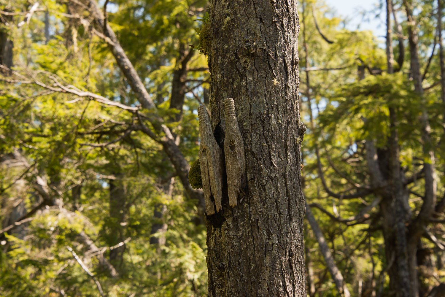
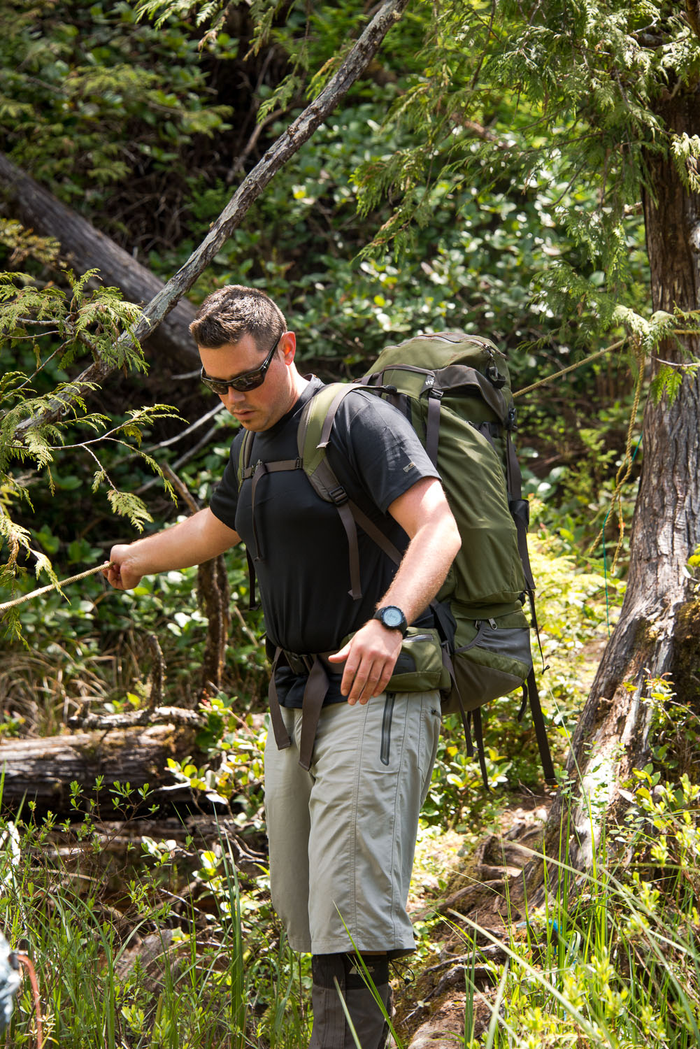
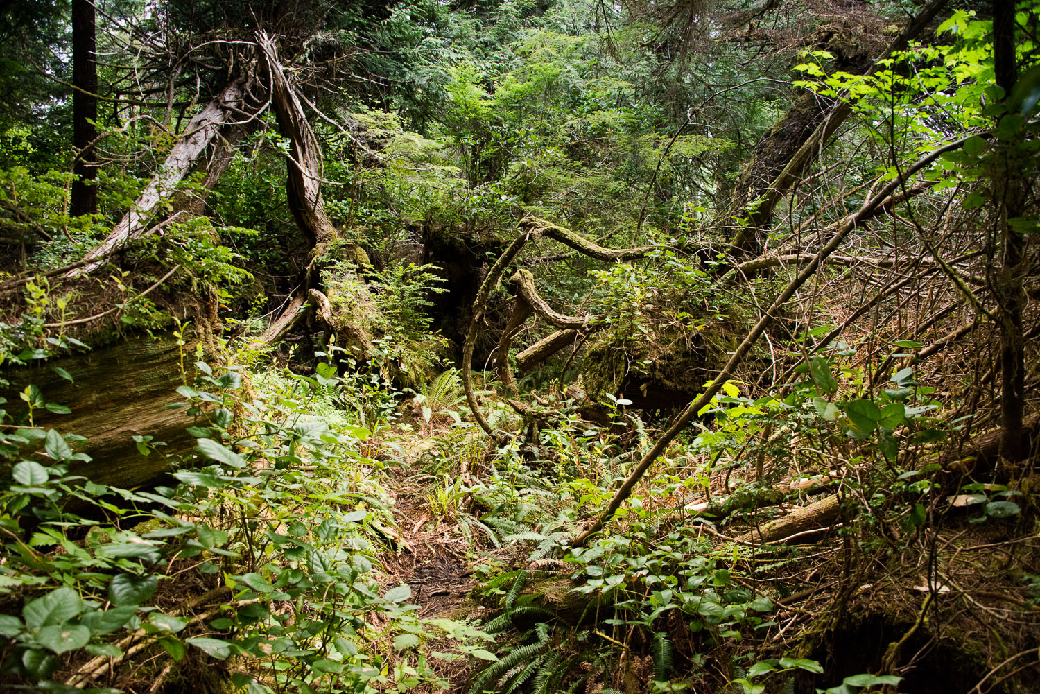
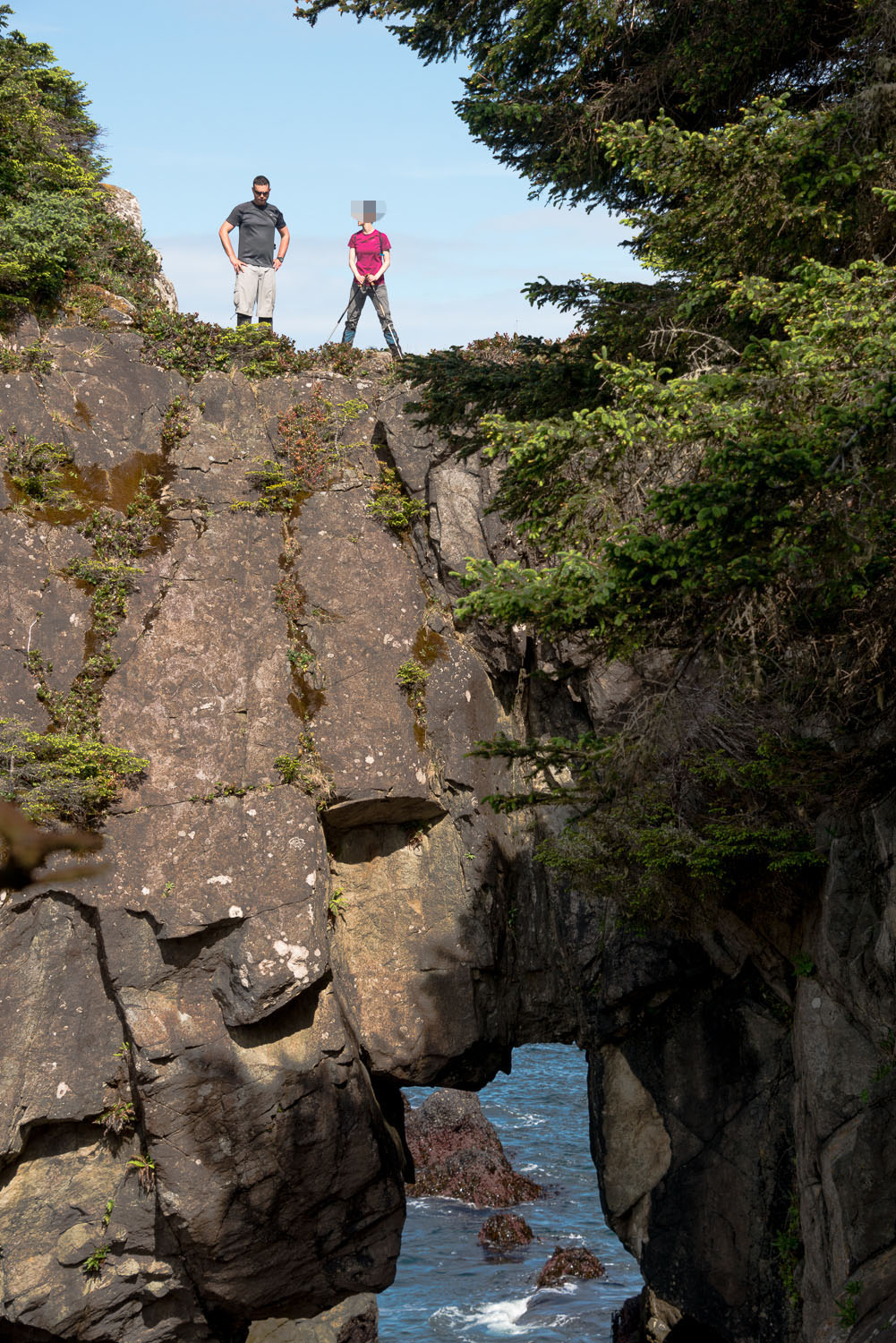
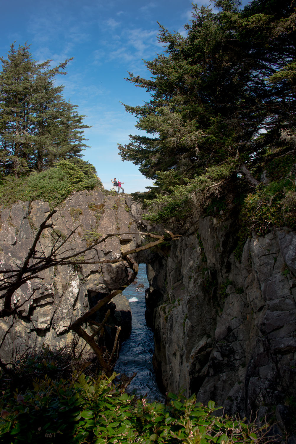
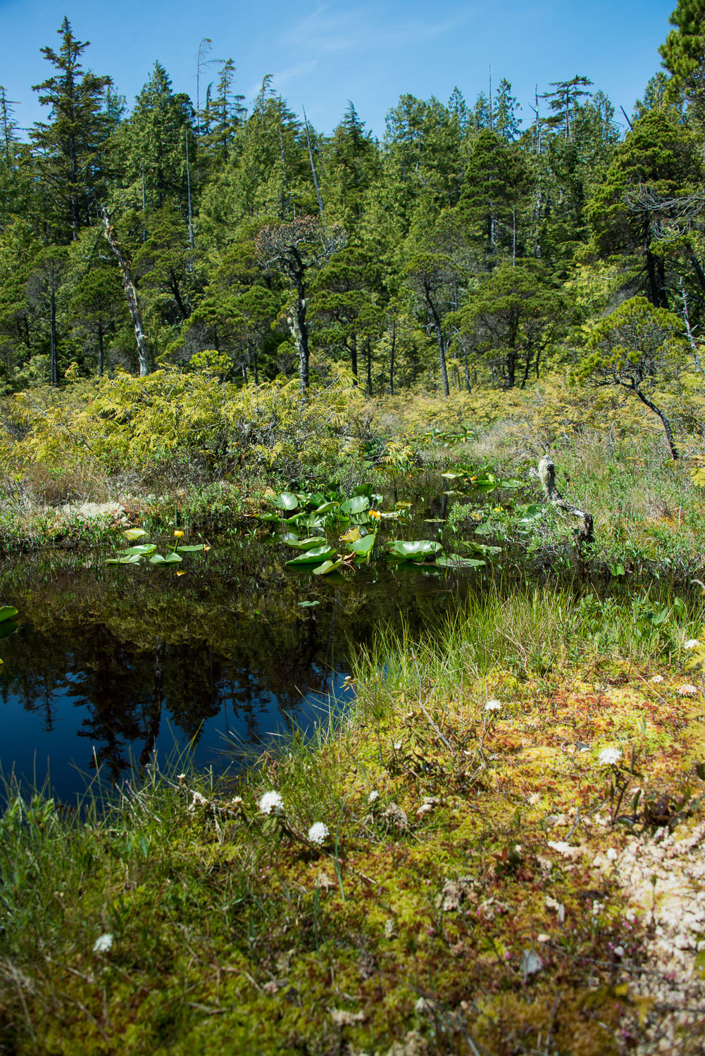
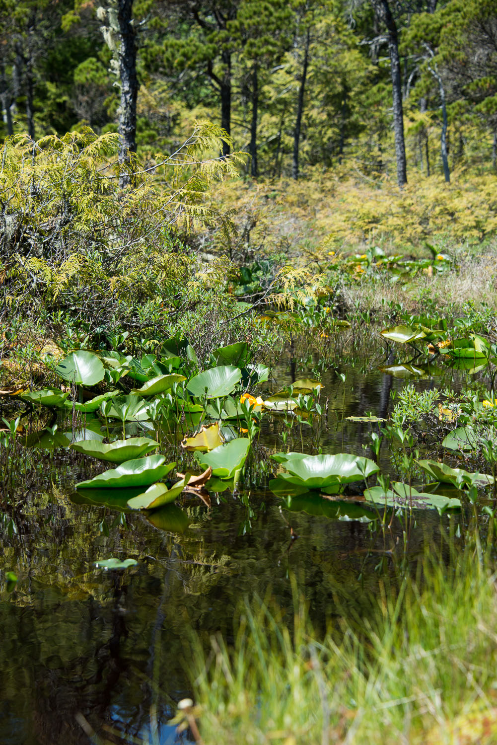
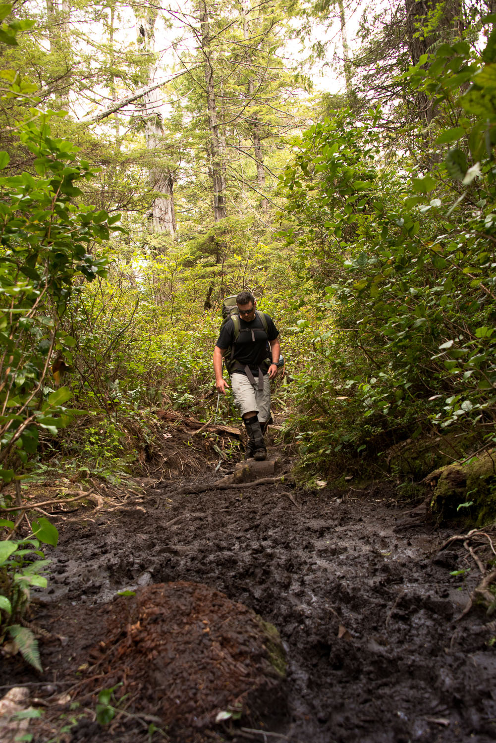
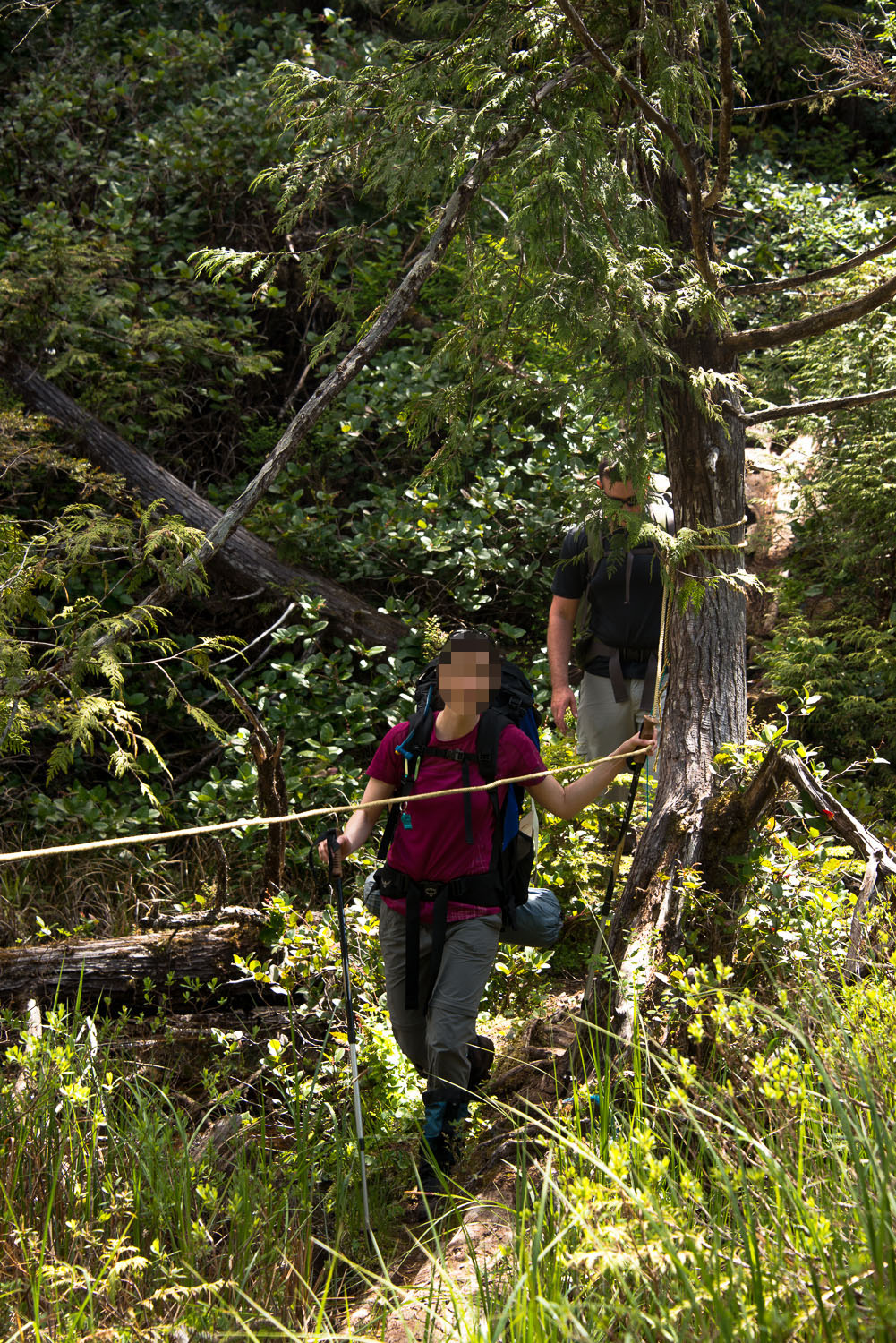
Since our hike was going to be short we didn't hit the trail until late morning. The weather in Bamfield must have been dry for a week or more because the trail in was surprisingly good, considering that I usually refer to it as the worst trail on Vancouver Island. We made it to the Tapaltos Bay/Keeha Bay junction in just 45 minutes, about 1.5 km from the trailhead By the time we got there we were all quite warm even though we were hiking in shorts and t-shirts. Looking at the map to Tapaltos, it looked like about the same distance but we were apprehensive as this section of the trail is often called the disappearing trail. I was worried that the trail would peter out making it hard to follow. As it turns out, the name is deceiving. It is not because the trail is hard to find, it isn't. It is referred to as the disappearing trail because at times you are asking yourself, "is this really a trail?". There is a lot of mud and obstacles on the trail. Several points you need to climb over large logs, cross streams on logs, duck under trees and roots and even cantilever out over mud pits.
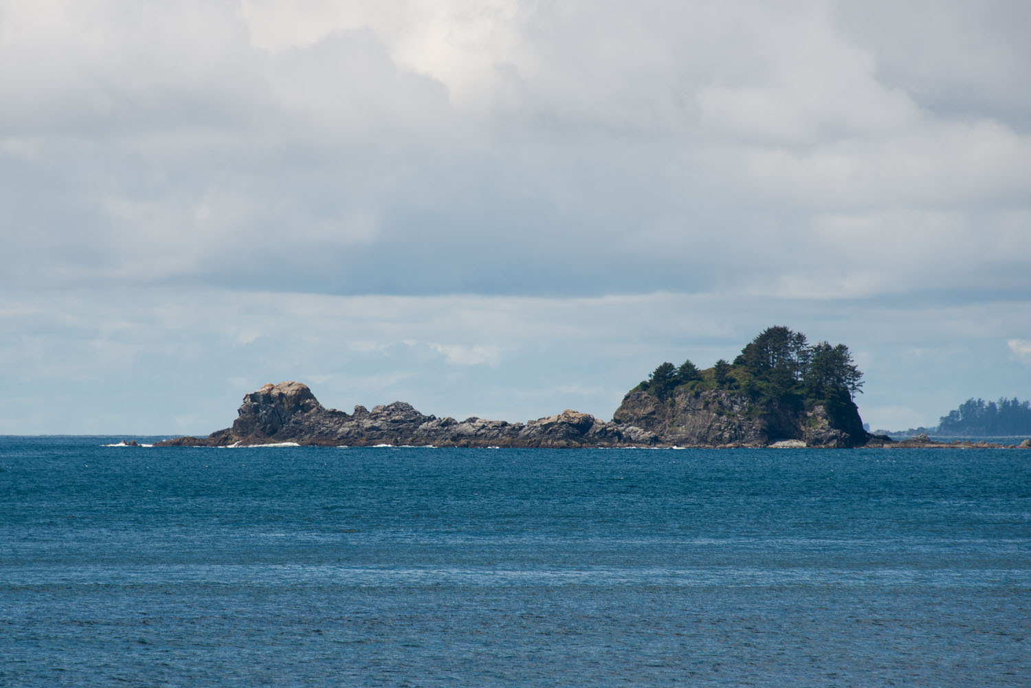
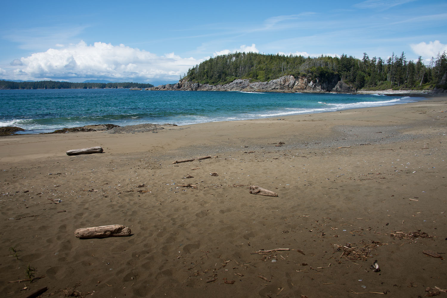
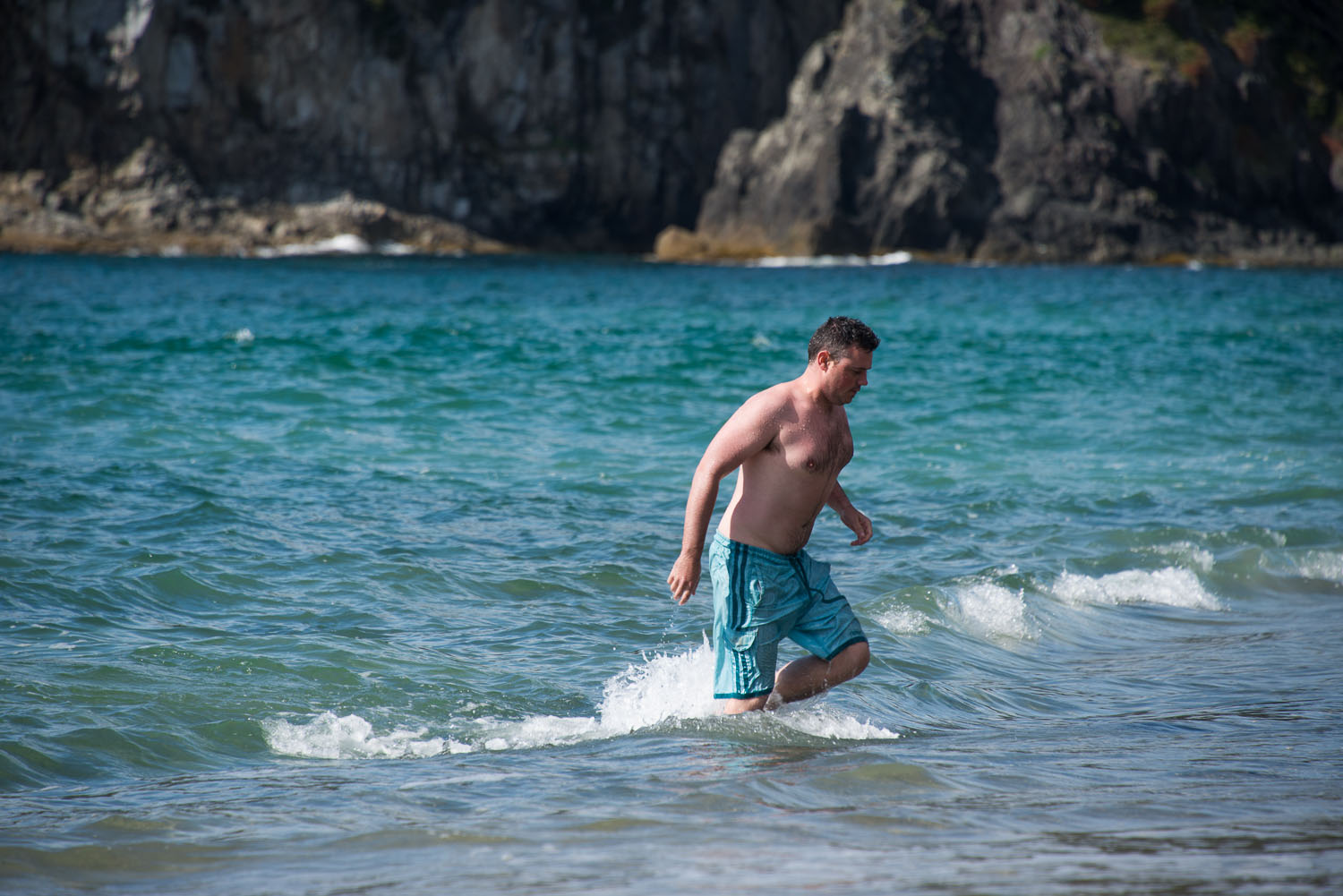
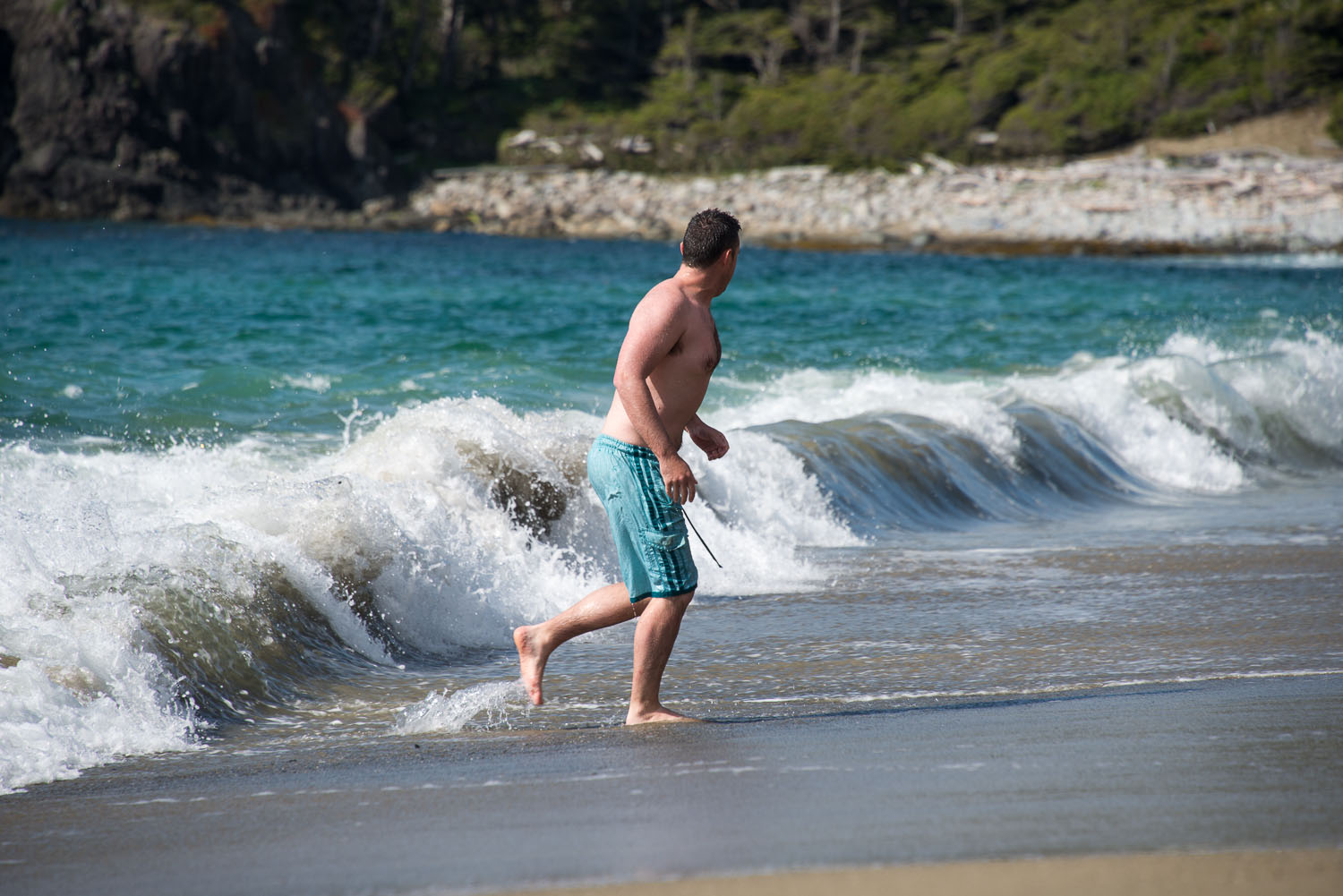
All along this section of the park there is a large hill right before arriving at the beach. As we reached the sumit of the hill we could hardly believe the view below. The sun was blasting on near white sand and the ocean was teal blue in colour! We rushed to the beach and admired it as large waves crashed on the sandy beach. We stripped off our cloths and threw on our swim shorts and hit the water! Often the waves topped 6' which providing great opportunities for body surfing.
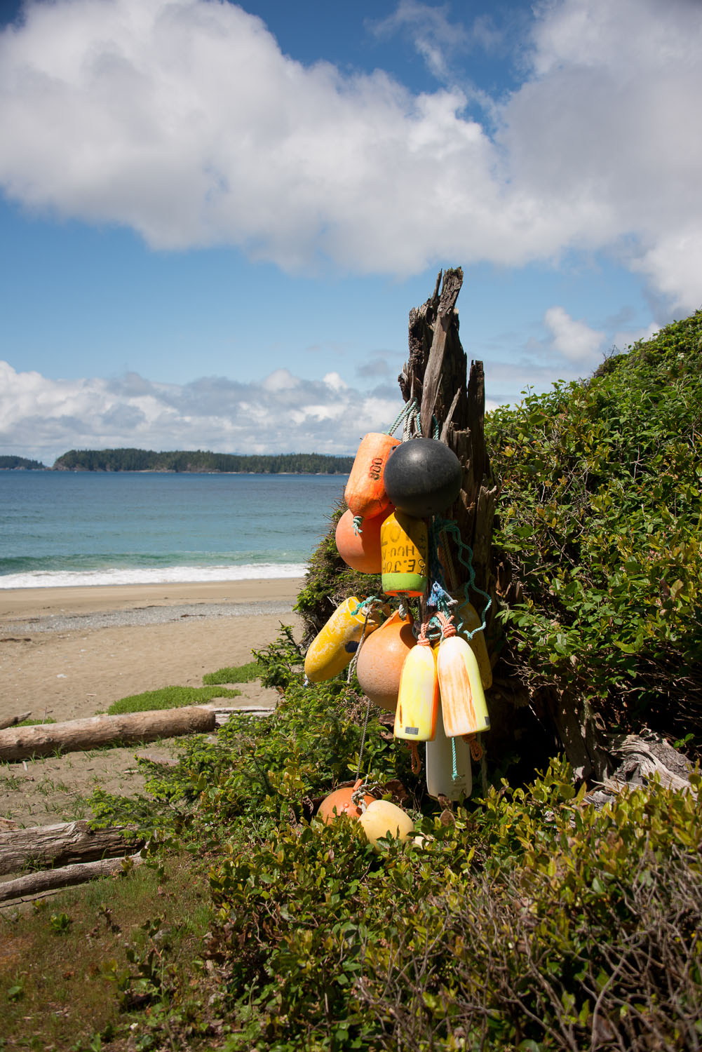
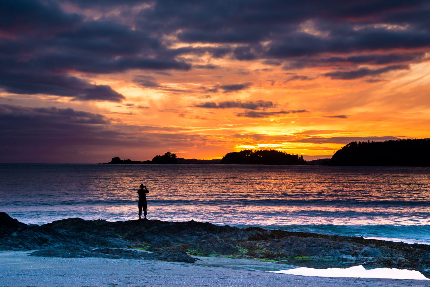
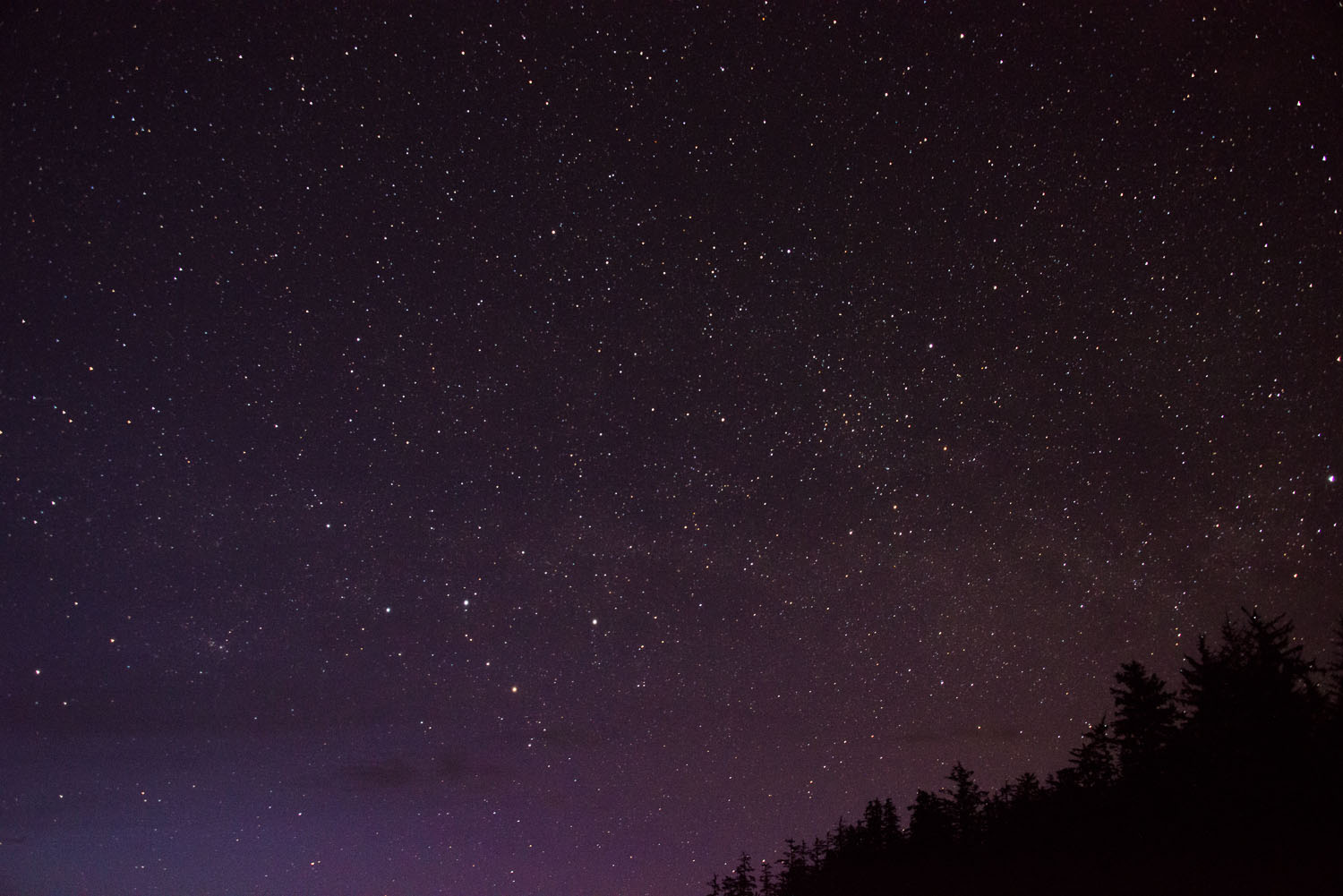
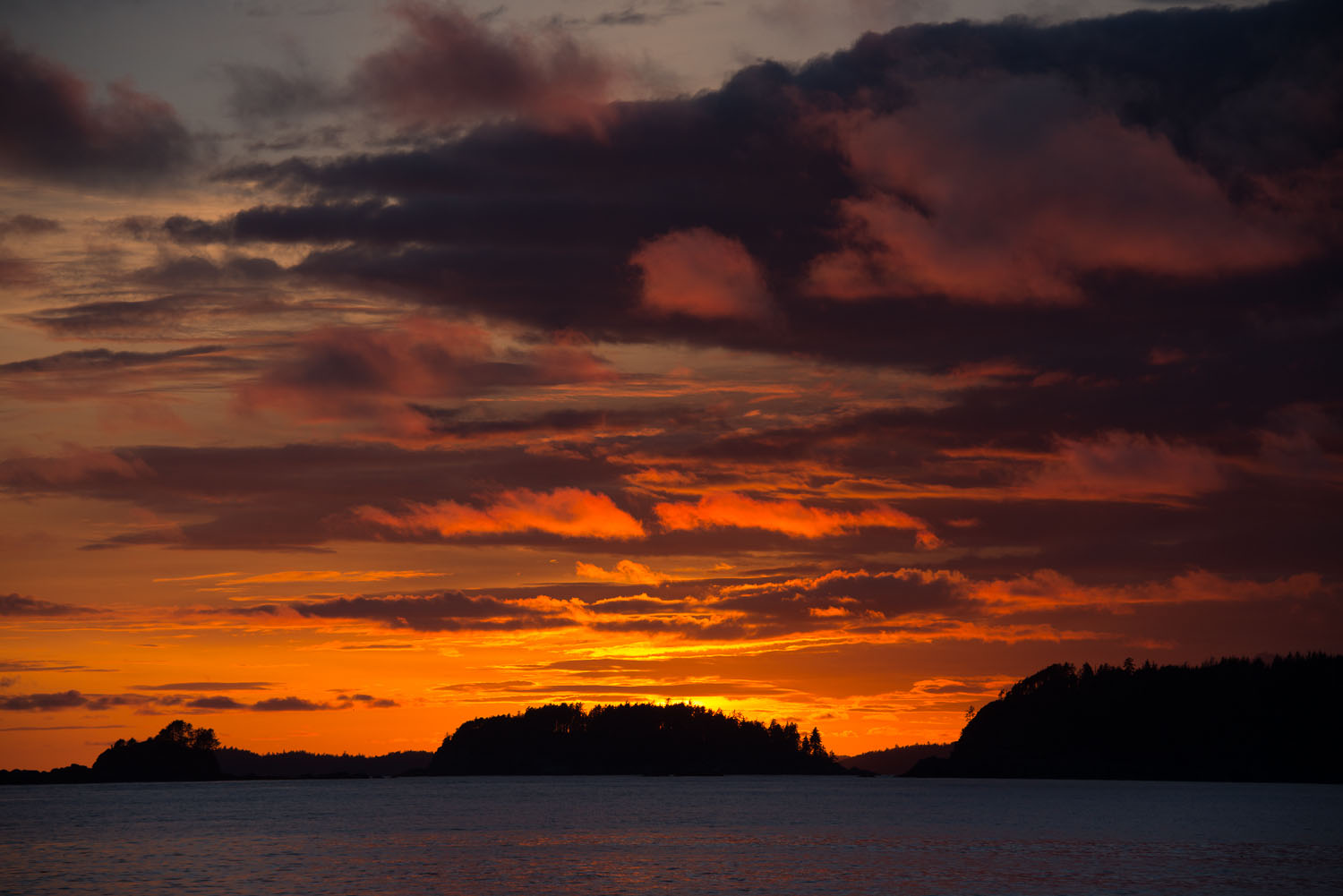
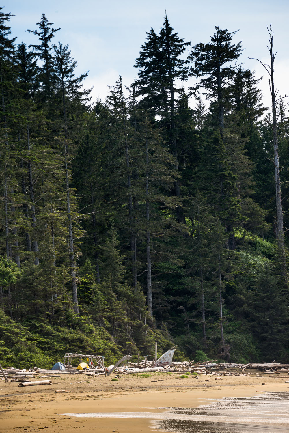
After the quick rest we searched the beach for the best place to camp and for a water source. The beach itself provided multiple opportunities for camping, there were a few spaces within the trees too but water was scarce. Although we did find a small stream that we could have used, we just used the 6L of water that we carried in with us. The first night on the beach was amazing, beautiful sunsets where we could watch the sun dipping into the water topped off the perfect day. The starts were just icing on the day.
It was dry all night, not even a drop of rain. Though in the morning the sky was overcast, the cloud ceiling was high and the cover was without volume. We started our hike to the lighthouse around 8:30 am because low tide was at 10:30 am and we needed a low tide to cross the mudflat to gain access to the lighthouse. It wasn't long into our hike that all the clouds burned off and we were being blasted sun.
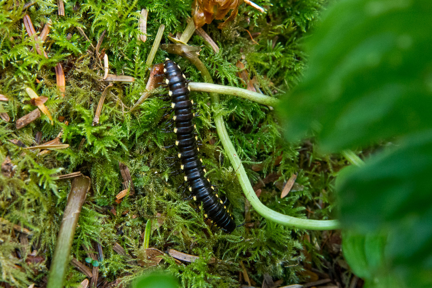
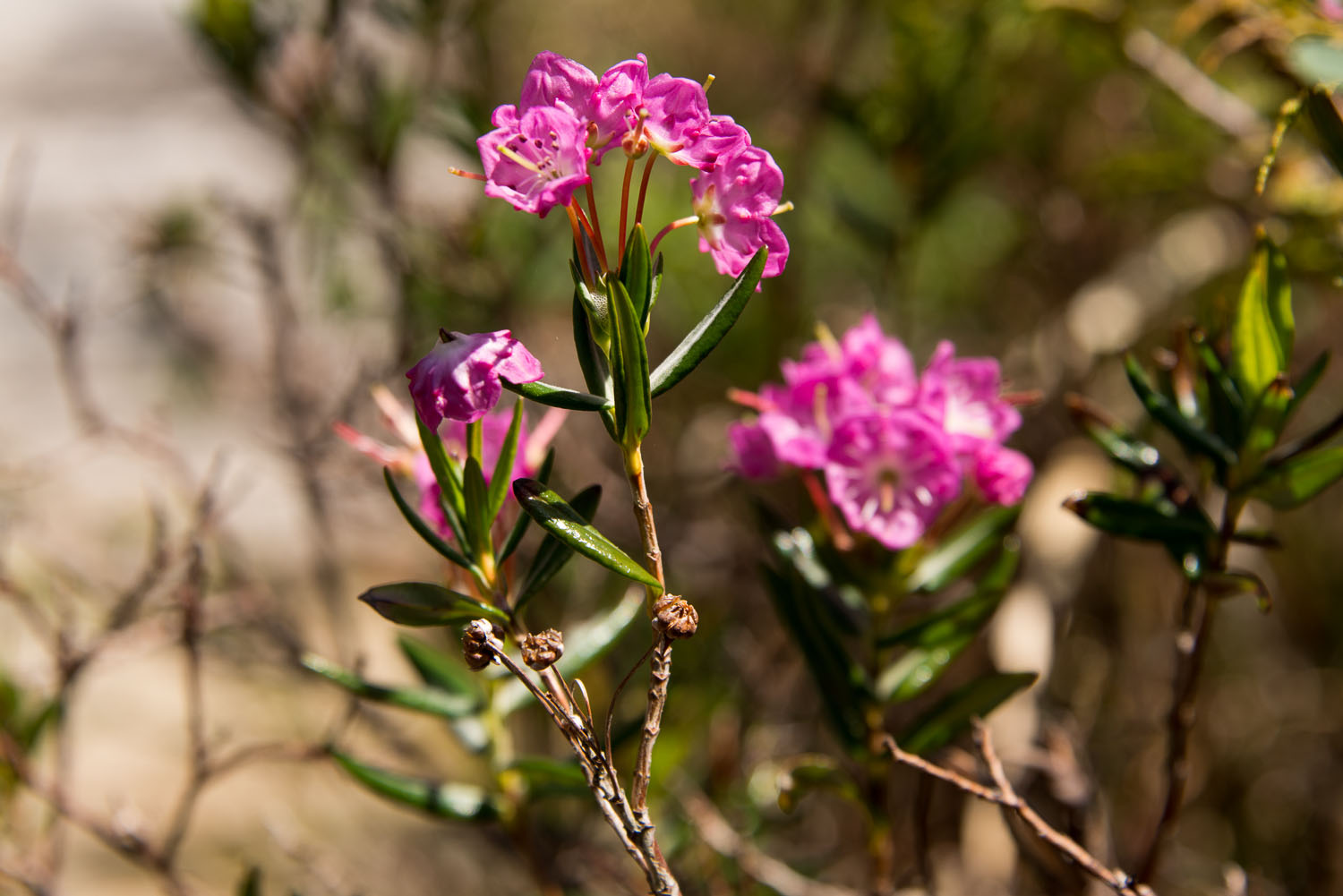
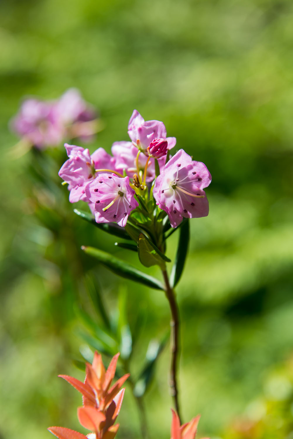
The walk to the lighthouse was a very different experience from the trip to Tapaltos Bay. The trail was much less muddy and there were only a few small obstacles to skirt. The flora was distinctly different! There were many sections that reminded me of what I might find on the Cape Scott Trail as opposed to the Pacific Rim National Park. Further, there was evidence of telegraph wire on many of the trees and some exposed section of telegraph wire too.
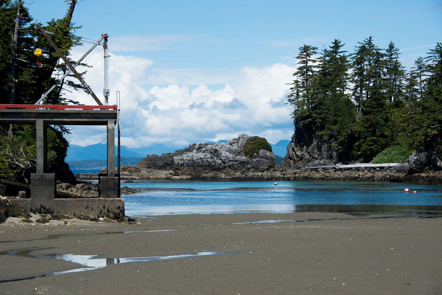
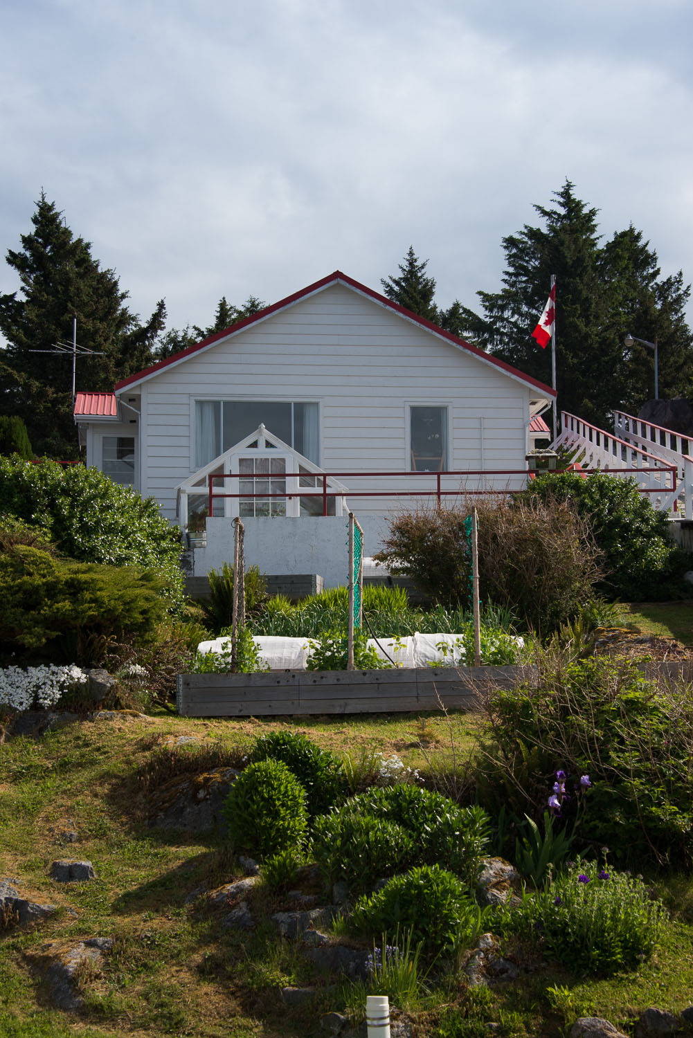
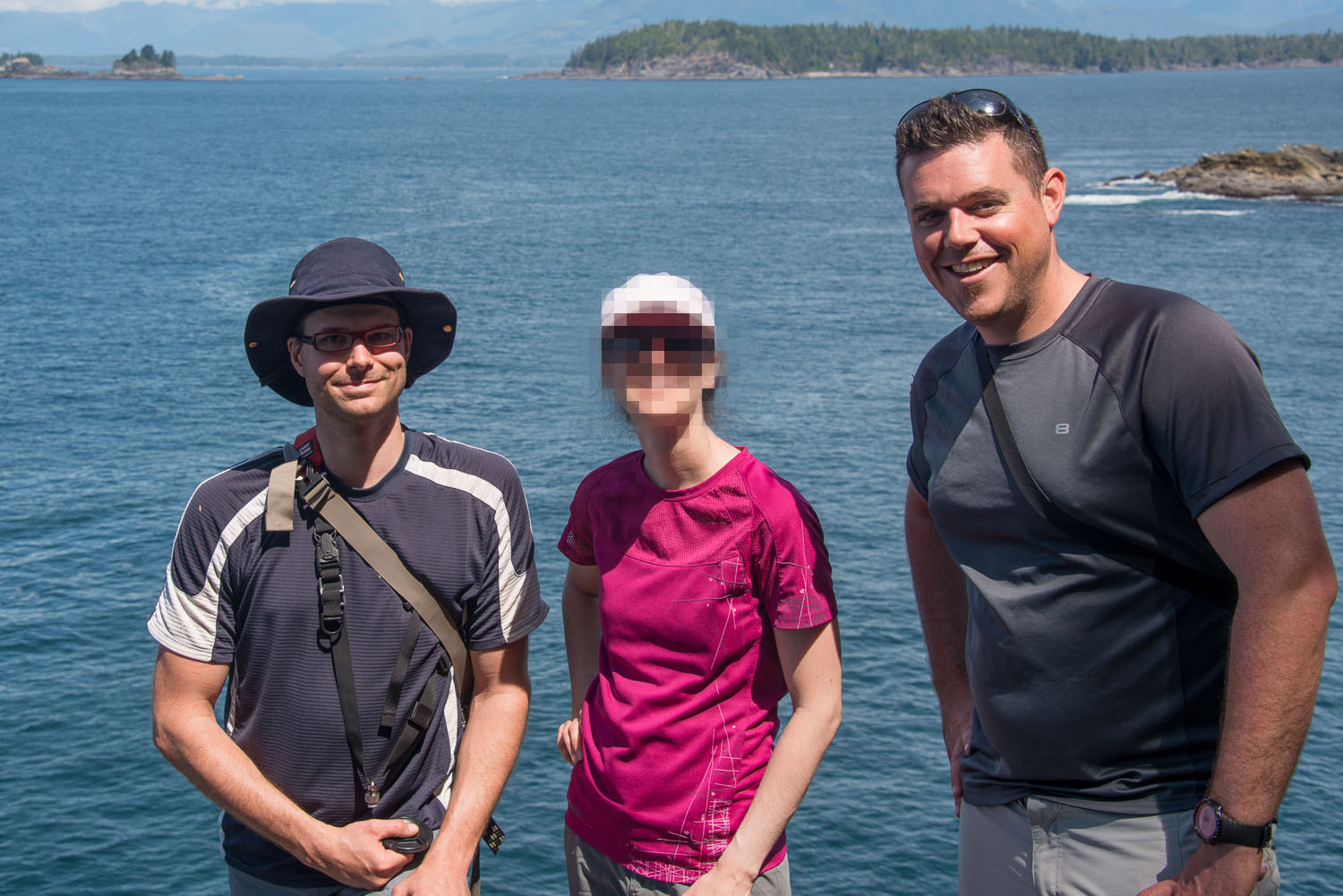
When we finally reached the mud flats we were pleased to find that the tide was indeed out and we were able to climb the long but beautiful staircase up to the top of the islet. As we approached the top we could see the lighthouse tower looming and we were greeted by Toni, a relief Principal Keeper. She was very friendly and because it was her day off she toured us around the facility and showed us the variety of natural features. This included sea caves, land bridge, beaches and even the gardens and green houses. Eventually we were joined by Jason the assistant keeper. We talked, ate lunch and the two of the keepers toured us to a few more natural features and then down to the dock as we departed, walking across the mudflats. All in all, these were the nicest keepers I have had the pleasure to meet, yes even friendly than Todd and Harvey.
We returned to camp and spent more time playing in the surf and sat, warming ourselves by the late night fire. We contemplated the day, conversed and mentally prepared us for the trip home. As we sat we could hear the calls of two lonely sea lions calling, and eventually, were even greeted by the spout of a small whale in the bay.
This is a trip I won't soon forget. It is defiantly on the top of my list for trips in the past few years.
My hiking partner has his own images and reflections posted on his blog.
 |
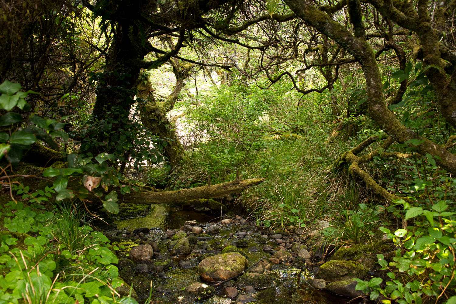
| a little slice of heaven, muddy |
 |
| one of several log crossings |
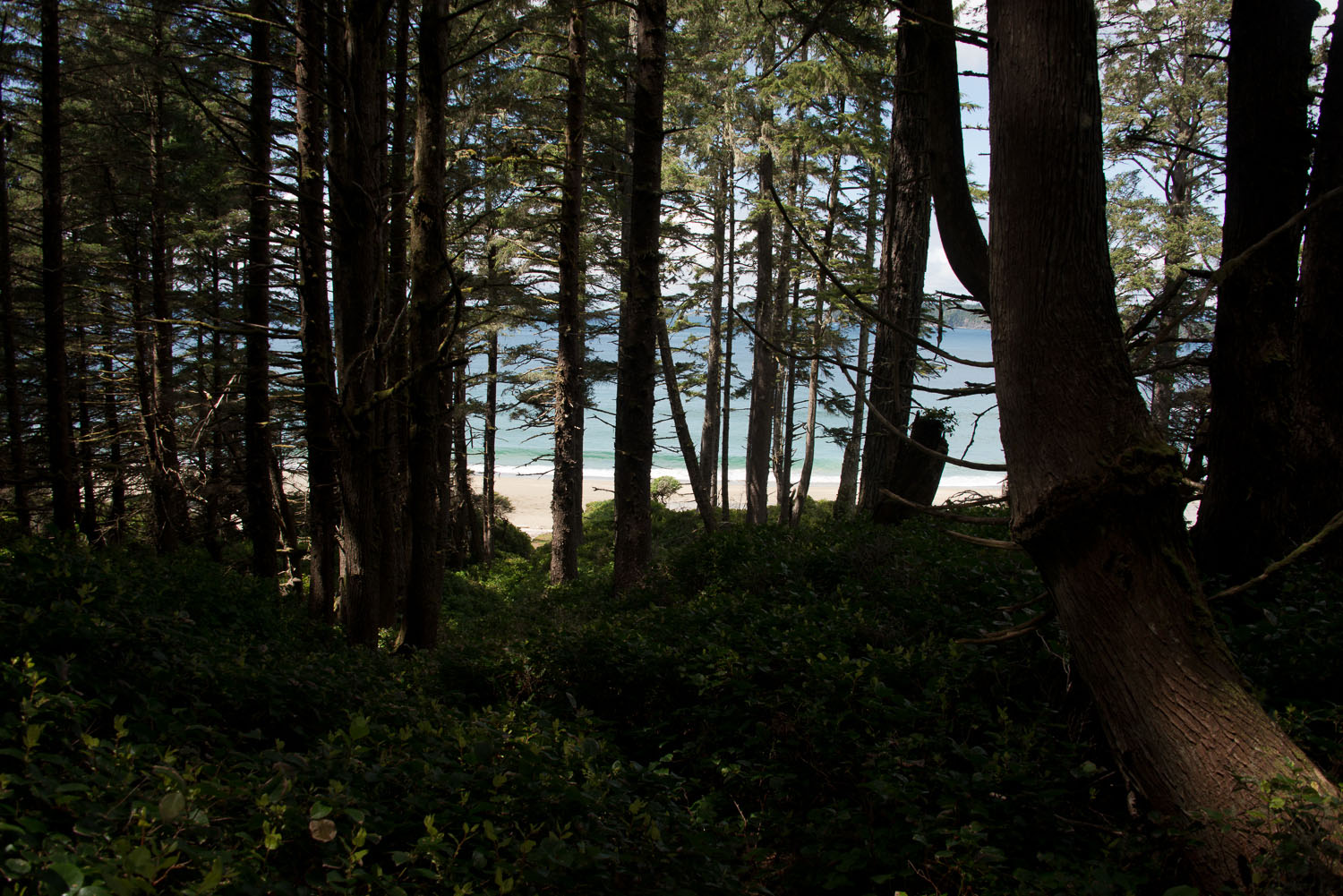 |
| first sight of the beach through the trees |
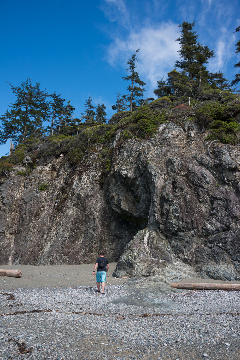 |
| a sense of scale |
 |
| just to remember that we are insignificant |
 |
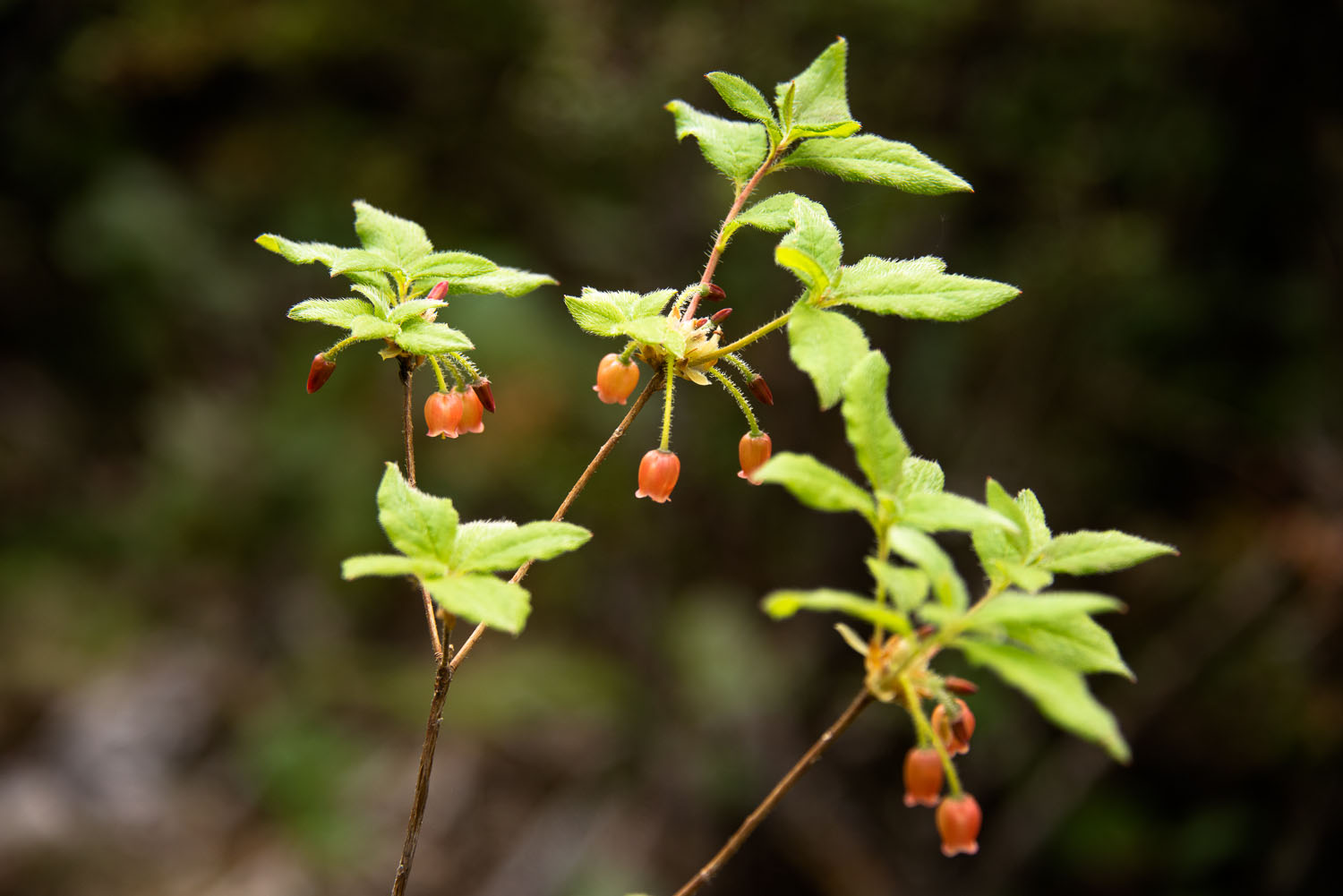
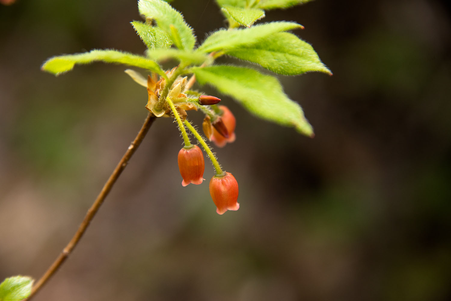
| a tiny bit of paradise |
 |
| route up to the lighthosue |
Labels: Backpacking, Camping, coastal hike, GPS, Hiking, Island Mountain Ramblers, Michael P, Mud, Pacific Rim National Park Reserve, Photography