Boring Art, Boring Life: High (Mis)Adventure on Roger's Ridge
High (Mis)Adventure on Roger's Ridge
Big adventure was in store for my hike on Rodgers Ridge, Sunday April 26th. We left Nanaimo earlier than normal, 6 AM, anticipating the 3 hour drive to Granite Mainline, off the Buttle Highway (Hwy 28). Our goal was to hit up two peaks, Mount Beadnell and Mount Adrian. We expected a long day, we were right though not for the reasons we anticipated....
Distance: 10.7 km
Starting Elevation: 1170 m
Max Elevation: 1750 m
Total Elevation Gain: 950 m
Total Time: 5 hours 40 minutes
We used beta provided on Summit Post, it provides a good description of various route used to approach the different regions in the area. To summarize the information provided, drive about 18 km from the Campbell River, marked from the highway 19 junction, heading toward Gold River on Hwy 28. Turn left onto Quinsam Main (with a sign that labels it Argonaught Main). Follow the road and stay right as you pass the Quinsam Coal mine. Continue following the main road, the most traveled road until you get to the Granite Mainline turn off. Turn left and cross a small bridge. The road past the bridge is used less and care should be taken as you drive Granite main there is at least one section with a fantastic combination of rock fall and washout.
Our parking for the day was at N49.48.095 W125.33.229 at 1150m and 27 km from the highway. We followed a spur southeast rounding an arm of the Sihun river valley, off the Granite Main. On either side of the valley impressive formations of rock circle the valley, putting sections of road in deep shadow. Getting to our starting location we crossed our first section of snow and ice, a 200 metre section of road.
We left the car around 9 AM and began walking up a final short spur, the route immediately heads up. Some careful spotting brought us to a moderately booted path that leads up a swath of the hill devoid of trees, a route cut by snowmobilers to create a via-way for ascending with their machines. Trail signs are evident, they are mounted high up in the trees, leading toward the small lake at the top. Before too long there was snow on the ground, obscuring the booted path.
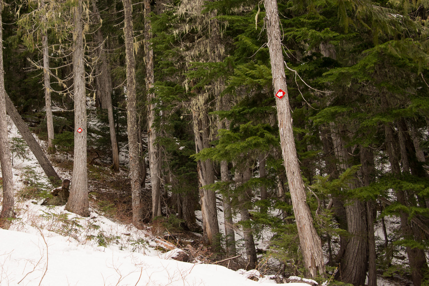 |
| Signage in the Trees |
We checked our topo map and confirmed our route and headed southeast around a small frozen lake and up the hill towards the col between Rogers Ridge and the Ridge that forms Lupin Mountain. Finding our way over the snow was easy, the terrain guided us as we moved through the easy to travel route, heading to the col. There is sporadic flagging but I wouldn't rely on it to lead you where you want to go.
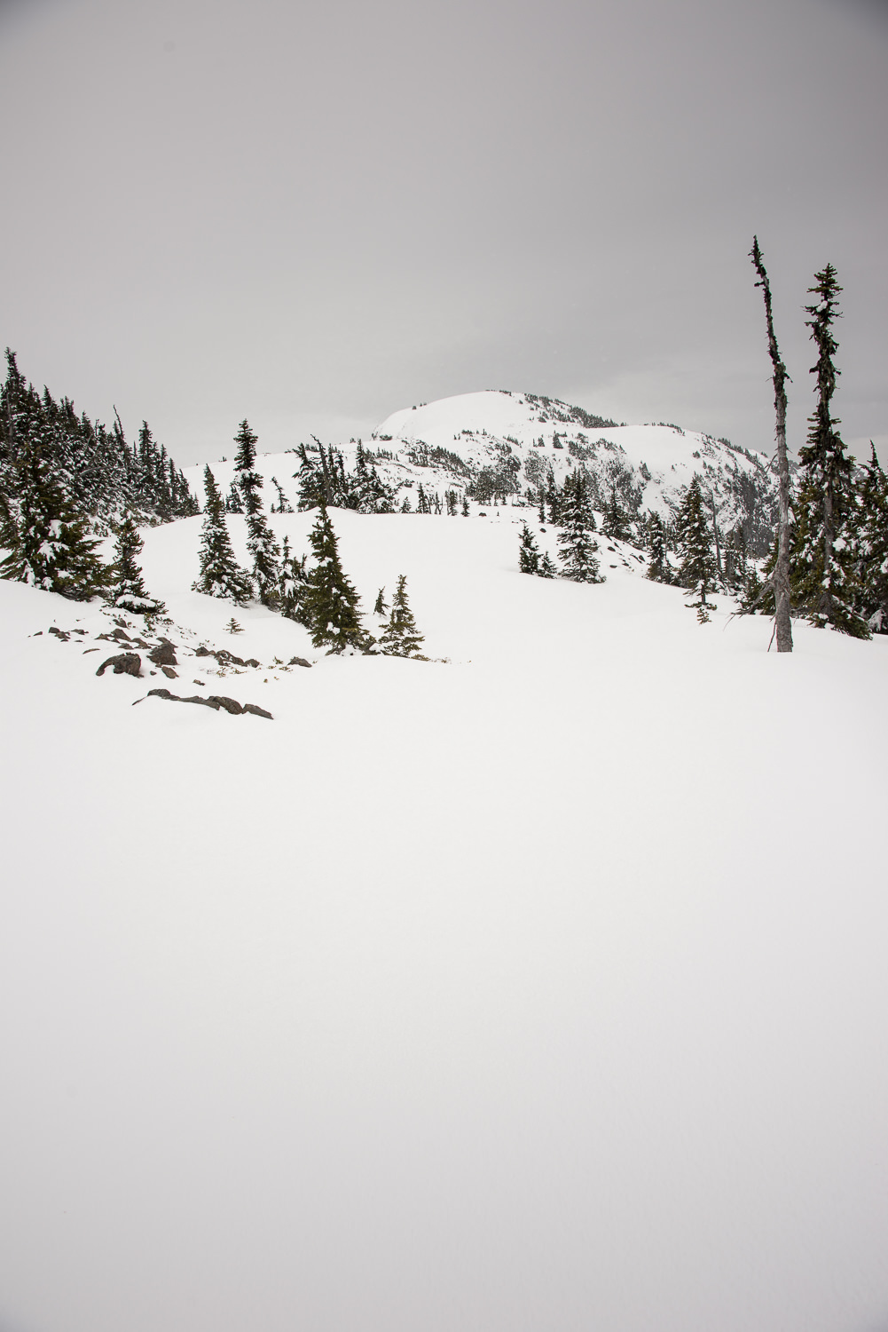
From the col we turned slightly, heading southwest up the steeper slopes that lead quickly to the broad top of Rogers Ridge. We made time quickly, making it to the top by 10:30 at 1690 m . From our new vantage we caught our first glimpse of Rogers Ridge with Mount Adrian and Mt. Beadnell in the distance.
Everything was blanketed in crunchy hard snow. A quick southeasterly wind was kicking up, drawing off the frozen powder and blowing it across the broad rounded ridge. We stopped breifly and put on some wind gear and then continued on our way, snowshoes still on our backpack, as the snow was hard enough to walk on without the devices. The traverse to Beadnell was quick, the mildly undulating path was easy to walk, very few obstacle penetrated the crust of the snow. The biggest challenge was seeing the dips and valleys, the diffused light of the overcast day offered no shadows to help with depth perception.
We summited Beadnell (1740 m) before 1 PM, 3.5km from the car. I posted a few shots to Instagram and we took a few minutes to assess our next move. Our original goal was to continue along the ridge to Mount Adrian. The weather had other ideas, there was gusting wind and falling snow. We had concerns about exposure to the elements. We made a difficult decision to save that peak for another day and descended along our route to hit the long ridge leading to Lupin Mountain.
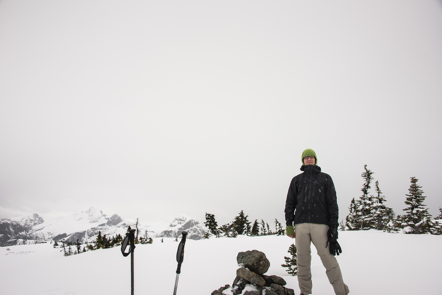 |
| posing on the summit of Beadnell |
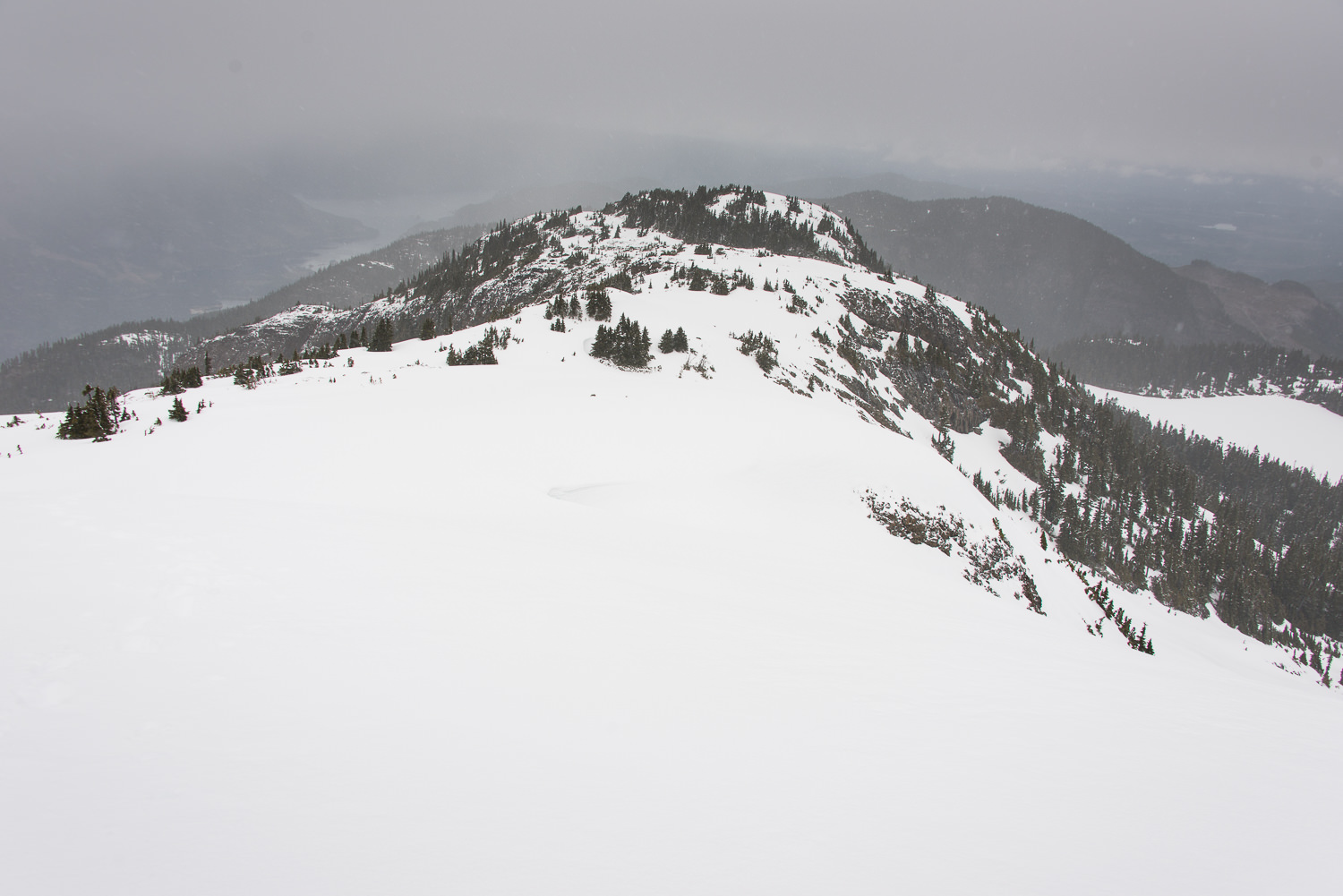 |
| From the summit of Beadnell looking east |
The midday snow was softening and it made stepping down the slopes quick and easy. We scooted across the treed col and picked way along the treed ridge that leads to Lupin Mountin. The area is easy to traverse, providing that you have direction sense and have a topographical map. At 1 o'clock we spotted a cairn and stopped to eat lunch.
Throughout the day the cloud cover was constantly changing but at lunch we had a reasonable view to the west. From our lunch spot we had a view of both Rogers Ridge and the mountains on the opposing side of highway 28, Mt Titus, Mt McBride, the Golden Hinde and at least a half dozen more.
The cairn is clearly the high point on the ridge, however it is not marked as a summit on the map. The peak on the ridge is marked as Mt Lupin (1509 m) but it is at least 500 metres from where we stood. I'm confident that we stood on the high point but we descended north, past a few frozen tarns and walked up the small hill where my GPS topo place the summit. We explored the area but found no cairn.
I took the lead heading back to the car. We contoured around the higher portions of the ridge taking a more direct route through the trees, heading back to the car. We had little difficulty making through the forrest, the trees were small the ground was clear and there was relatively little dead-fall. I don't recommend taking my track, we were simply trending downhill guided by the terrain, there is definitely not a trail. Further, once below at the car, we could see that we were lucky! Looking back to Lupin Mountain we could see many places we may have found ourselves bluffed-out. The easier way to ascend, probably taking equal time and less energy, climb to the small lakes at the col between Rogers Ridge and Lupin Mountain.
You are probably thinking.... so where is the misadventure? It reads as though the day was a dream! Here it comes.
The beautiful weather of the day, brought light drizzle and warm air at 1150 metres, where I parked my car. We changed our gear and loaded into the car and turned around to head home. I drove along the road and only made it about 15 feet in the snow before coming to a halt. The the ice and frozen snow had turned to sugar snow! The car was pushed to the side of the road and mounted up on a pile of frozen snow! No amount of rocking, pushing or turnign was freeing up the axles of the vehicle. Phil and I got out and used my two shovels and our ice axes. It took us about a thirty minutes to dig the car out, once the ice and snow was removed from below the car it dropped at least two inches back onto the ground. We assessed the situation and decided to try it one more time!
This time we took a run at the snow, hoping some velocity would get up onto a more frozen section of the road, remember I had about 200 m of snow covered road to make it across. We hit it at about 60 km an hour. It didn't make a difference. I made it about 5 metres farthing before the car hung up with even more snow packed below it. We piled out... we were faced with several terrible options. The day was getting on, about 4 o'clock
- Walk the 30 km back to the highway and hitchhike home.
- Dig the entire road out.
- Climb back up the mountain and make some phone calls, hoping to get someone out to help.
No matter what, a painful decision needed to be made. Phil stayed at the car to dig it out and I climbed back up the mountain to make some phone calls. I scampered up the hill about 45 minute to climb the 200 m in elevation to a tall rock where I picked up cell service.
First I messaged our wives; We are okay but we won't be home any time soon, the car is stuck.... You can imagine how that message was received. Next, phone calls went out to those folks that i know have a 4x4, they could drive up to get us and I could collect the vehicle the next weekend, simply drive it out when the small amount of snow is gone. This was the best hope. No such luck, no one was home or answering texts, Facebook messages or cell phones. Time for the fall back, BCAA
I pulled out my BCAA card and opened my phone ap... just as my phone shut down. I had plenty of battery at least 25%.... Every iphone I have ever own has the same problem. When the temperature of the phone drops below freezing, the battery loses the ability to deliver power and the phone stops working. I had to get the phone to work. I used the fire-starting meathod, rubbing between my hands and against my legs to create friction. I have used this method many times, it took about 20 minutes but the phone started again. I imagine that this would look funny. A guy wearing shorts, on the side of a mountain, rubbing a phone on his skin.... The problem with this situation, the phone cools quickly and loses power quickly.
Once restarted I made the call. After some quick chatter the operator transferred me to the towing agent's dispatcher. Thank goodness, she did what she could with the short time we had. I quickly rattled off the location of the car, and the basic instructions of how to get where we were and the page of the Back Road Mapbook where we could be found. She replied that I would have to pay for the off road portion of the tow, they needed a credit card. I left my wallet in the car, fortunately I have my card number memorized, including the CVC code and the expiry.
She asked me to wait... I didn't have the time. I explained my phone was going to die and asked her to send someone, we didn't want to hike the 27 km to the road. I also told her, "I understand if the driver can't make it", after all it wasn't there responsibility. I'm not sure if she heard my whole message, my phone died.
I walked back to the car and brewed some coffee to drink. We had no idea if a truck was coming. I finished my coffee and we packed our gear, I packed everything I could carry, everything I cared about. We began walking. My instructions were vague and our location obscure...
I have to tell you we have never been so happy to see a set of headlights, 5 minutes of walking and we saw a big tow truck coming over the edge of the steep hill. We were saved.
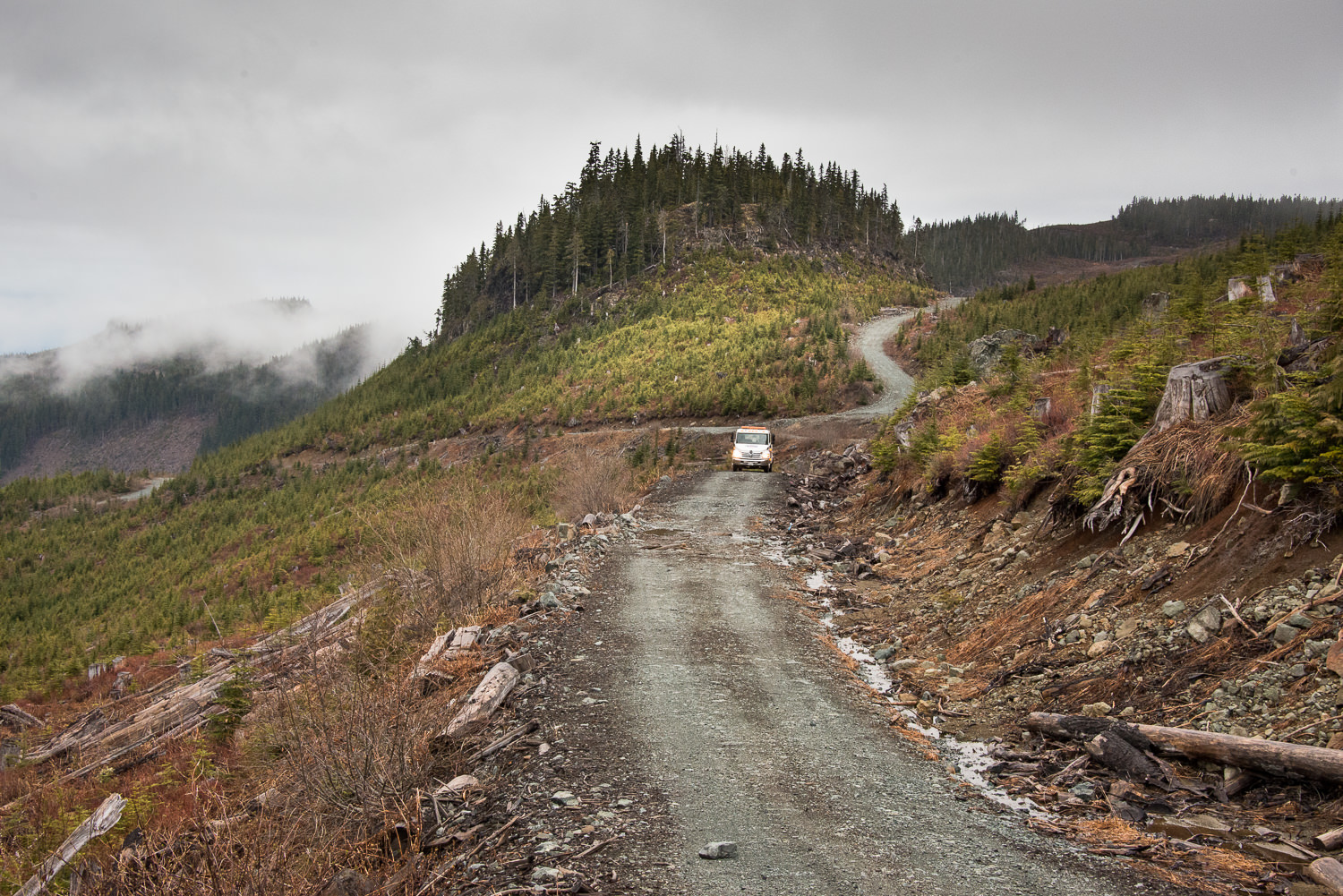 |
| Saved! |
The remainder of the night is boring, the driver couldn't drive on the snow so we dislodge the car from its trapped location and moved it onto solid dirt but left it behind. The truck brought us back to the highway, driving at about 2 km an hour... no hyperbole. We made it back to Campbell River around 9pm.
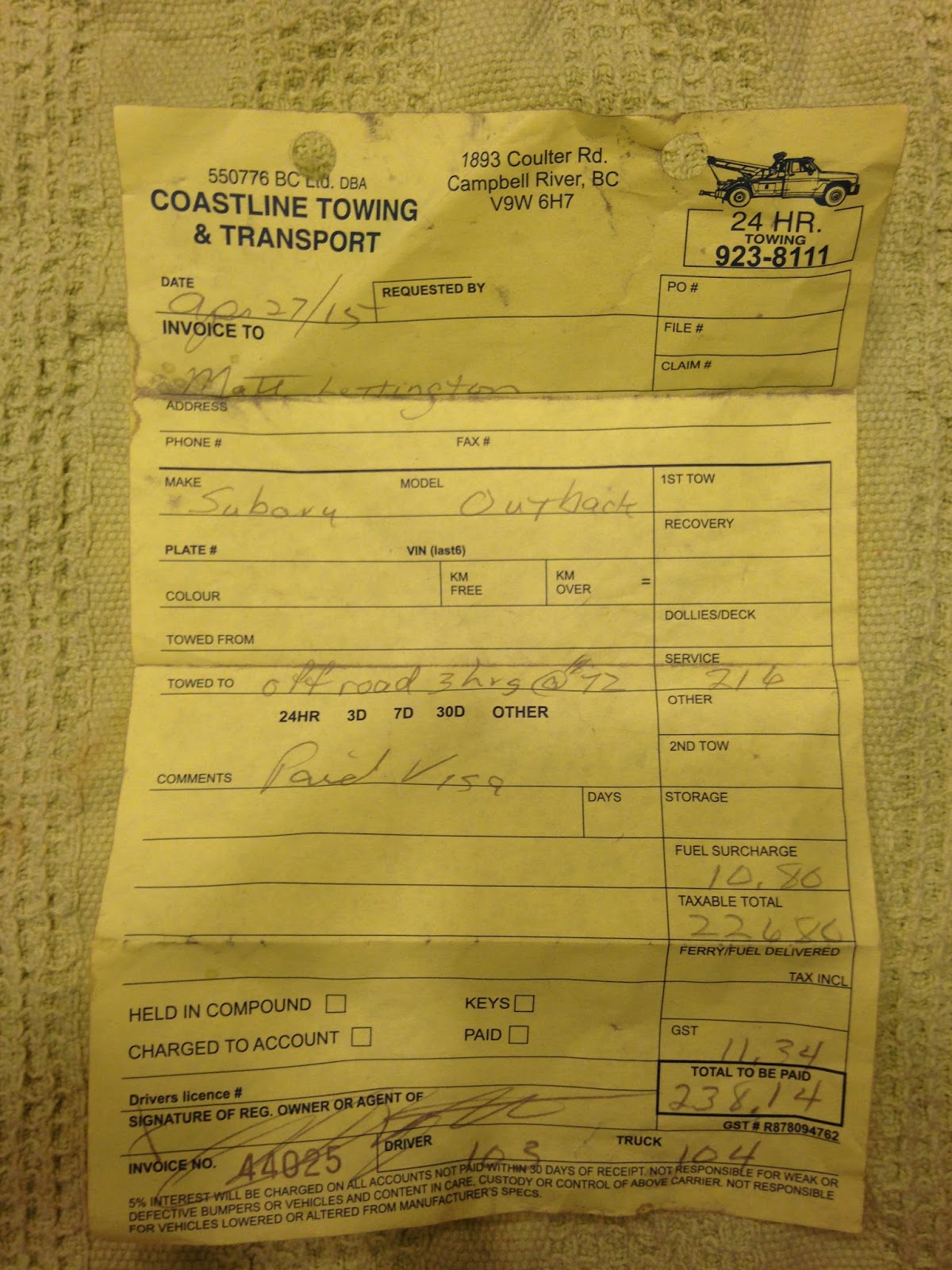 |
| 3 hour taxi ride from high up the mountain |
Phil contacted his wife and she agreed to drive up from Nanaimo and meet us.
The tow truck driver was getting off work so he dropped us at a restaurant who agreed to make us some food and serve us some drinks, even though they had just closed their kitchen (thank you Moxies). We ate and chatted. Once finished, we made our way outside to wait in the bus shelter.
When Phil finally dropped me off, I was friggen exhausted. I slid into bed around2 AM, this was a long day... but what a story.
***Update I retrieved my car ***Labels: Hiking, Lupin Mountain, Mount Beadnell, mountaineering, Rogers Ridge


