Boring Art, Boring Life: Mount Drabble intermediate snowshoe
Mount Drabble intermediate snowshoe
A long time ago, when people were talking – for the first time - about a certain movie that took place in a galaxy far, far, away, there was an underutilized ski resort on a site which is now commonly referred to as “the old Forbidden Plateau ski hill”...
Bright and early on Sunday, January 10th, we were on the road, questing for adventure in Strathcona Park. Six of us made it to the trailhead for first light. The icy road and parking lot were plowed, making transit easy, but once we parked and exited, John's truck slid a few inches. We took our first steps up to the proper snow of the old slopes at 8:00 am.
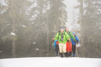 |
| The gang rambling the rolling hills, approaching the summit of Mount Drabble |
Total Distance: 17.9
Starting Elevation: 713 m
Maximum Elevation: 1364 m
Elevation Gain: 1155 m
Time: 8 hours 15 min
The snow was in excellent condition for snowshoeing, hard-packed with a suitable crust that mostly supported the weight of our heaviest hikers. We were not surprised to discover the route to the top of the old ski resort booted in. Dozens of hikers came days before us, packing many different routes all over the old ski hill. We made great time as we hiked up the eastern face of the hill. Ultimately, we joined the summer route that heads over Forbidden Plateau to Raven Lodge, traveling through Mackenzie and Paradise Meadows.
Beyond the end of the ski resort, there was a well-packed route leading to Mount Becher turnoff, but we continued on the dwindling path toward our goal. Eventually, we deviated from the packed trail and continued along the unwalked summer route. Stepping into fresh snow for the first time in the day, we were slowed. The route sidles down some steep terrain before crossing a gully and traversing the landscape in a valley. The snow made the terrain seem unfamiliar, even though I have walked it several times in other seasons.
 |
| Phil posing to demonstrate the size of the ice |
I did a poor job leading my group. Or maybe I did a good job of leading my group, and just a terrible job navigating. We climbed a number of small knolls, a few more than needed. There are no trail markers, so we were navigating by map and GPS. At one point we were off course by 150 metres, and this cost us some time and elevation gain/loss as we regained the route, which travels between two bumps.
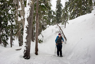 |
| The varied conditions didn't slow us down! |
West of Drabble Lakes, we deviated from the familiar summer route, heading up a nearby slope toward the broad summit known as Mount Drabble. We gradually gained elevation, climbing up and over the rolling features of the plateau's landscape. As we approached the final rise, we noted snowmobile tracks. Checking our maps, we confirmed we were still in the park. I have heard many reports of motorized incursion; we were witnessing the evidence of it. We were able to follow some of the tracks, as they led right to the main summit. We arrived after noon; we were not making record time.
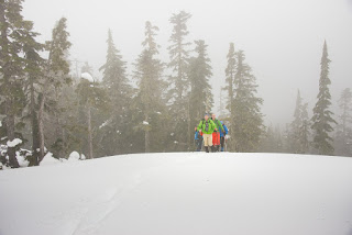 |
| Visibility dropped as we approached the summit |
At the summit, we broke out our snacks and put on dry clothes. Throughout the day I struggled to control my temperature; my shirt was soaked with effort. Each of us dressed in our warmest/windproof gear, before we enjoyed our snacks in the unfortunate fog. Throughout the day we had poor visibility, but on the summit it became worse. We were denied any view of the distant peaks; in fact, it became difficult to see farther than 15 feet in front of us. By the time we departed the summit, it was difficult to see detail in the landscape, which made following our tracks more difficult than normal.
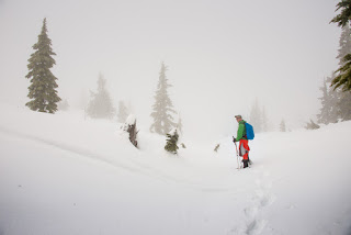 |
| Ryan inspecting the route, and snowmobile tracks |
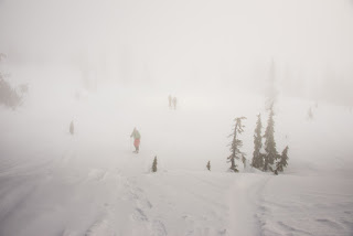 |
| looking through the mists at the group |
Backtracking, we managed to cut off about a kilometre by sticking more closely to the summer route; this saved a lot of time and effort. Somewhere on our return route, the cloud lifted and we were able to see blue in the sky. We arrived at the top of the old ski hill close to 3:00 pm. The sun, beginning its slow descent, cast long shadows across the terrain and spread its colour on the landscape. A deep orange bathed the features, starting far on the eastern horizon - making our first view of the day worth the monumental effort.
As we descended, we passed dozens of people: hikers, skiers, children sledding, and even one guy trying to ride what looked like a surfboard with a homemade parachute made out of a quilt. We descended amongst smiles and laughter. A day worth the effort.
Labels: Hiking, Island Mountain Ramblers, Mount Drabble, Snowshoeing, Strathcona Park


